Utility Mapping and GIS Point Shooting
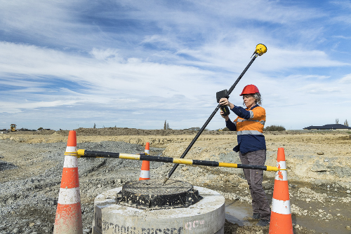
GIS data is used for a variety of applications, not just surveying. It’s a very useful method of ensuring that all data acquired is correctly fixed in topological space. A GIS platform will be able to bring in survey data, simulations, and projects, all of which can then be imported into the technology being used to build a project. GIS provides additional data when surveying — data that can be critical to the most thorough planning stages. With this additional data, companies are able to produce advanced simulations and predict the course of the development — from the start.
Accurate GIS data can help organizations build their Distribution Integrity Mapping Program (DIMP) plan, reduce potential environmental impact, and optimize their utility systems for greater levels of efficiency. Organizations can engage in record research in the future and otherwise manage their existing GIS data.
Augmented Reality Services
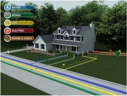
Augmented Reality Services Using high accuracy augmented reality can maximize the value of your data, enhance in-house communication and increase work productivity. Visualize in-ground pipes, anamolies and infrastructures on a project with the industries top 3D geophysical technology. Reality Augmentation is the new window into the underground world of utilities and pipes.
Call to schedule GIS mapping and augmented reality service in Honolulu +1-808-284-2538

